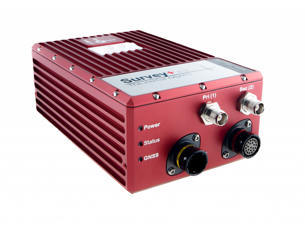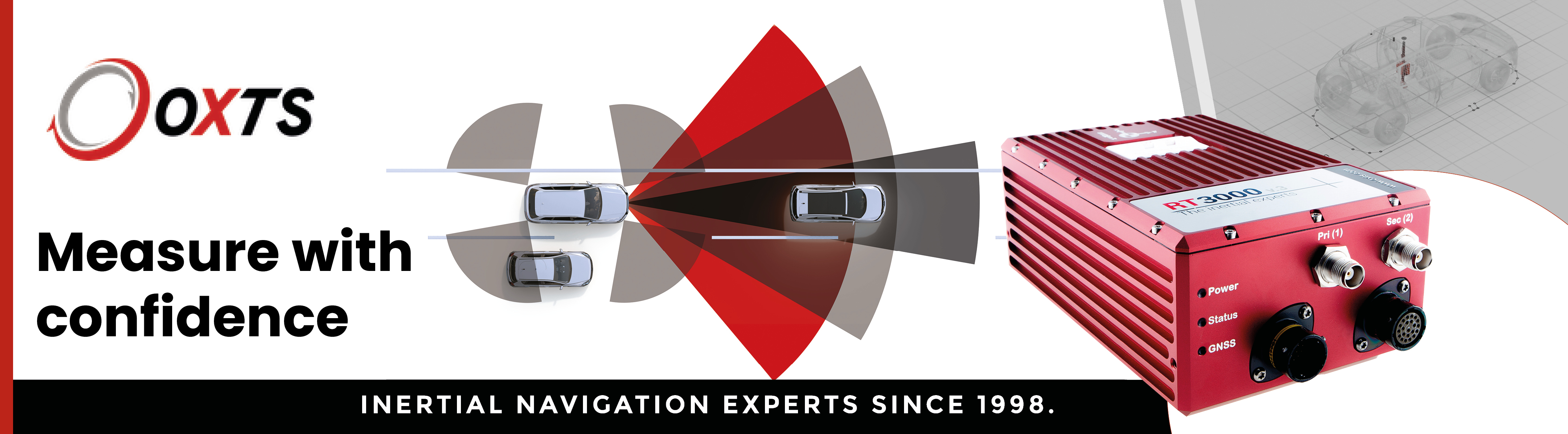


Survey+ v3 - The most cost-effective land-based mobile mapping and manned aircraft mapping INS on the market
The premium Survey+ is well recognized globally for it’s powerful, high-accuracy INS performance, achieving the best centimeter-level position accuracy for mobile mapping and survey applications. Now featuring the next-generation architecture to support both existing and future mapping needs, the Survey+ v3 combines the latest high-performance IMU sensors and greater processing power giving you confident measurements. It’s ready to use straight out of the box with the latest 3rd party hardware and software products.
Selling Points
- Tactical-grade ITAR free IMU protects against GNSS signal dropout
- Dual antenna GPS/GLONASS for accurate heading in all conditions.
- Quad GNSS
- Supported sensor integrations
- Affordable INS
- Flexible connectivity integrations
- Tightly coupled processing engine gx/ix™ technology for accurate measurements in challenging environments
Applications
- Road Survey
- Coastal Monitoring
- Construction Monitoring
- Geographical Surveying
- Map Creation
- Infrastructure Exploration
- Building Survey (BIM)
- City Survey
- Forestry Survey
- Rail Survey
Precision and Accuracy
- 0.1° Heading accuracy (single antenna)
- 0.05° Heading accuracy (dual antenna)
- 0.03° Roll/Pitch (PPK)
- 0.01 m Position Accuracy (RTK/PPK)
Additional Options
- LiDAR Georeferencing software
- Precision Time Protocol for much simpler set-up over ethernet (PTP)
- RT-Base S
- RT-Strut
- RT-UPS