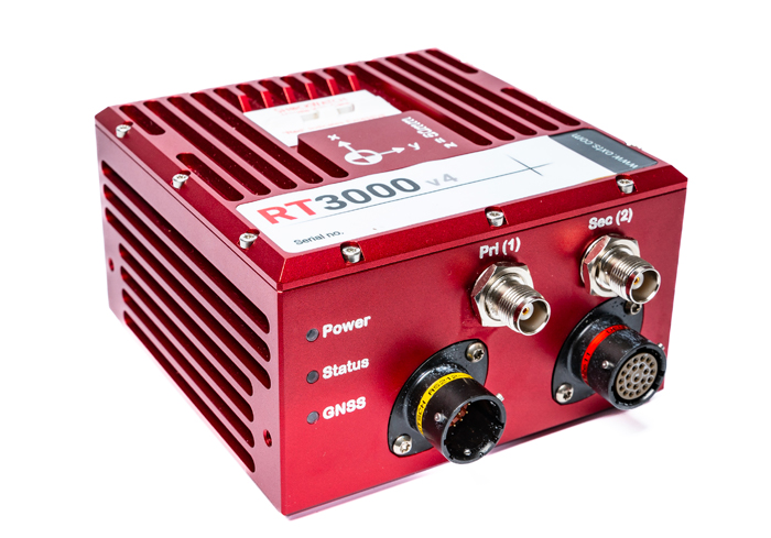
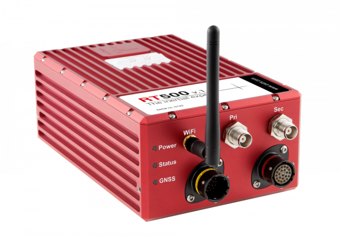
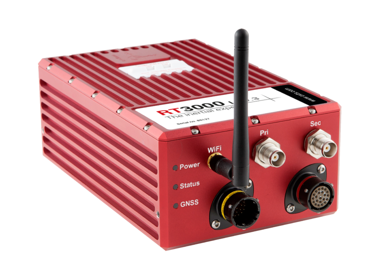
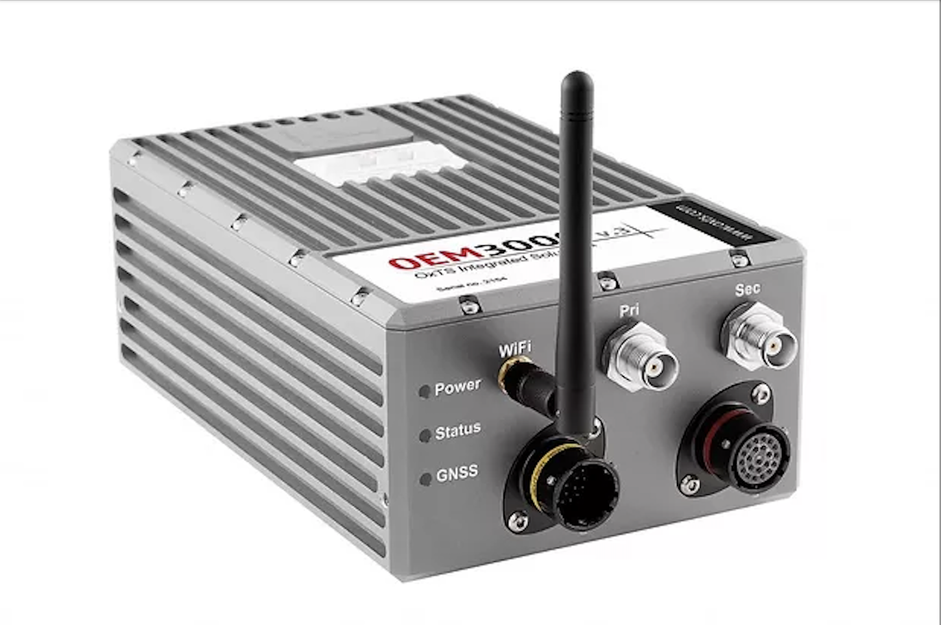
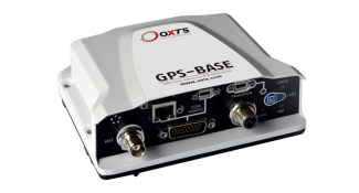
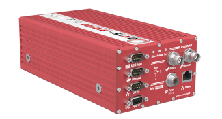
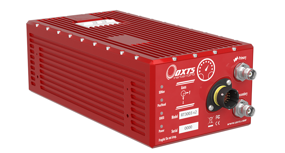
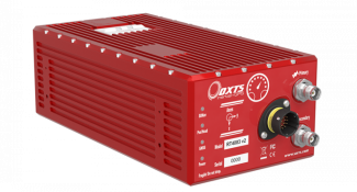
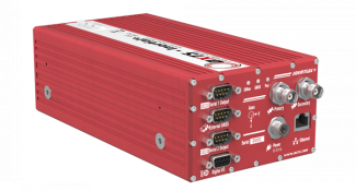
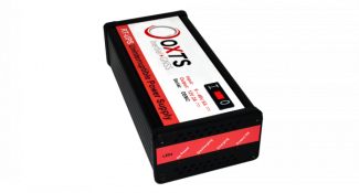
Oxford Technical Solutions/OxTS
Overview
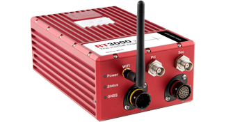
Oxford Technical Solutions’ (OxTS) products provide position, roll, pitch, heading and other measurements of vehicles on land, sea and in the air. Our highly accurate RT3000 series is used by almost all car manufacturers in the world for vehicle dynamics testing, validating advanced driver assistance systems (ADAS) sensors or developing self-driving cars. Our range of combined, compact GNSS/INS systems are used for sensor position and orientation on mobile mapping vehicles or for direct georeferencing data from airborne surveying.
Our Solutions

OxTS's inertial navigation systems collect position, orientation, and velocity measurements. The RT-Range S creates a real-time network capable of tracking multiple targets, calculating distance, time to collision, and other relative measurements. Targets can be road vehicles, vulnerable road users (VRUs) such as cyclists or pedestrians, Euro NCAP targets and other soft targets, traffic assets and more. Data is available in real-time on a software dashboard and captured to verify test outcomes. Vehicle-to-vehicle measurements can be made over a 1 km range.
GNSS/INS
Automotive

RT1003 v3
Miniature Dual Antenna for GNSS/INS Fully integrated dual antenna INS/GNSS, ideal for space constrained ADAS applications such as low-profile robotic platforms, pedestrian and VRU tests.

RT2000 v2
Low cost, entry level GNSS/INS for automotive testing Tightly integrated precision GNSS receivers and inertial sensors for accurate, reliable dynamic measurements.

RT3000 v3
High performance GNSS/INS for dynamic applications. The flagship inertial navigation system from OxTS for automotive dynamic measurement.

RT4000 v2
OXTS' highest performance GNSS/INS The RT4000 has increased output rate for highly dynamic applications.Precision inertial navigation system with an increased 250 Hz output for automotive dynamic measurement.

RT-Range S v2
Multiple Target ADAS solution
Used for global NCAP, IIHS and NHTSA tests.
Creates a real-time network tracking multiple targets.
Measures range, orientation and relative motion.
Model targets as multi-point polygons.
Preferred by driving robot manufacturers.

RT-Range Hunter v2 (RT3000v3 inside)
Multiple Target ADAS solution Used for global NCAP, IIHS and NHTSA tests. Creates a real-time network tracking multiple targets. Measures range, orientation and relative motion. Model targets as multi-point polygons.
Survey & Georeferencing

Inertial+ v2
Drop-in INS for external GNSS receivers Inertial navigation system with support for external aiding from GNSS and Locata receivers. Make use of your existing equipment for land, sea, or air applications.

xNav v3 (200/250/500/550)
Miniature dual antenna GNSS/INS.
Fully integrated dual antenna GNSS+inertial system that doesn’t compromise on performance. Ideal for weight and space constrained applications.

Survey+ v3
High performance ITAR free GNSS/INS
Fully integrated GNSS+inertial technology with flexible upgrade options for robust georeferencing from the air or on land.

xOEMcore v2
Lightweight and highly accurate IMU/INS for system integrators
The xOEMcore is a 6-axis inertial measurement unit and navigation system with sensor fusion in one compact OEM module.

xOEM v3
Lightweight
and highly accurate INS boardset for system integrators
The xOEM is ideal for integrating directly
into systems that require a high performance inertial navigation system.
GPS + Accessories

RT Strut
A quick and easy-to-use mounting system for vehicles. The RT-Strut is a fast car mounting system for our GNSS/INS products. Equipment can be mounted securely on the strut in most vehicles in minutes.

RT UPS
Uninterruptible power supply for worry-free testing.. The RT-UPS protects against power fluctuations and saves time in the event of power loss by keeping equipment supplied for up to 1 minute.

GPS-Base
Small GNSS base station for RTK applications.
The GPS-Base is a small GNSS base station that provides RTK corrections to one or more differential enabled GNSS receivers via radio modem.

RT-Base
A portable and weatherproof base station for GNSS corrections The RT-Base S improves data accuracy by transmitting differential corrections (DGNSS) to your inertial navigation systems.
ADAS Testing

RT-Range S v2
Multiple Target ADAS solutionUsed for global NCAP, IIHS and NHTSA tests. Creates a real-time network tracking multiple targets. Measures range, orientation and relative motion. Model targets as multi-point polygons. Preferred by driving robot manufacturers.

RT-Range Survey Trolley
The perfect tool for easily creating and saving lane maps. The survey trolley provides a convenient way of lane surveying when doing vehicle-to-lane measurements with the RT-Range S. The RT-Range S line survey tool software makes creating straight and curved lines simple.

RT-XLAN
Long range communication between vehicles made easy. The RT-XLAN is a high performance wireless LAN (WLAN) radio unit capable of providing a highly reliable 1 km vehicle-to-vehicle data communication link between multiple vehicles. Suitable for use with OxTS ADAS testing solutions.

RT-Backpack
Track pedestrians and cyclists with ease and precision. Fitted with a battery and wireless RT-XLAN to provides an additional component to the RT-Range S system. Designed for tracking the position of pedestrians, cyclists and motorcyclists relative to a moving vehicle.